next up previous contents
Next: SEA BOTTOM SAMPLING Up: RESULTS AND DISCUSSION Previous: MULTIBEAM

SBP - SSS

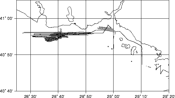
We collected a very dense grid of SBP and SSS lines, with quality ranging from good to very good. Fig. 6.2 and Fig.6.2 show the lines run in the surveyed area.

The position data were taken from the XTF files with a PERL script according to Triton's XTF header definitions, and converted to geographical coordinates with IGM routines.

Figure 21: SBP-SSS runlines
\begin{figure}\centering {
\epsfig{bbllx=20,bblly=50,bburx=595,bbury=380,file=SWIST_XTF.ps,width=15cm} }\end{figure}

Figure 22: SBP-SSS runlines in the Izmit Area
\begin{figure}\centering {
\epsfig{bbllx=20,bblly=50,bburx=595,bbury=380,file=IZMIT_XTF.ps,width=14cm} }\end{figure}


2001-05-11