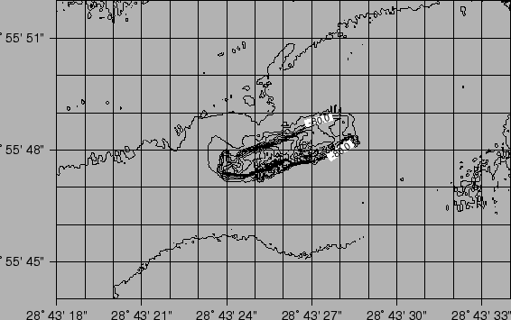
Fig.6.1 and 6.1 shows the 3-D topographic relief of the Izmit and SW Istanbul areas. The DTMs at 7.5m resolution were obtained by smoothly merging the EM300 and EM3000 data at the bathymetric contour of 110m.
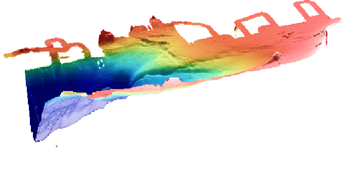
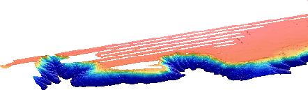
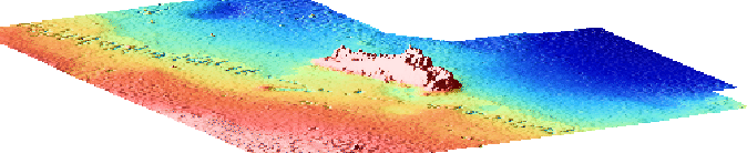
Fig. 6.1 shows a sea-bottom feature in the ![]() area that very
likely resembles a ship's wreck. The same data are visualized in 3-D in Fig.6.1.
area that very
likely resembles a ship's wreck. The same data are visualized in 3-D in Fig.6.1.