 |
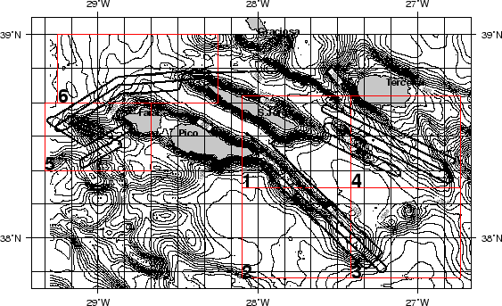
The investigated areas consisted mainly the seaward tips of the Islands of Faial, Pico, S.Jorge and Terceira. The investigated areas were divided into 6 subareas, as shown by Fig.14 to help the navigation and sonar data processing and the procedure for hand mosaicking at the scale 1:60000.
During the operations on board an attempt was made to process the side-scan sonar data with the PRISM software. This was successful, though at an intermediate level. The LAN files produced by PRISM were used by the ENVI [13] package to make automated mosaicks.