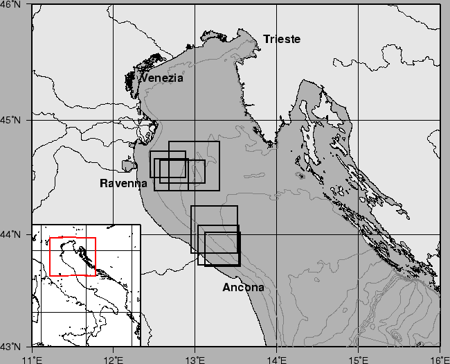
The Operational Oceanography is based on quantitative estimations of the more significant environmental parameters which are involved and regulate the processes in a marine environment. This is particularly important, for example, in the case of the assessment of the biogeochemical properties and major nutrient cycles of the studied basin, which are often closely related to its physiographic and oceanographic features. This approach to the oceanographic analysis of marine systems has to be based on the macht of the evaluation of the intensity (zero-Dimensional analysis) of the physical and biogeochemical processes with the evaluation of their spatial (3-Dimensional) extent. However, this last analysis has to be performed accounting for the time dependencies of physical processes like riverine inputs, meteorological forcings, local and general hydrological circulation, which are particularly significant and often drive the ecosystem of coastal zones. From this point of view, the analysis of as much synoptic as possible 'snapshots' of the physical 3-D properties of a water bodies (for example STD data) represents a basic step for this modeling and for the quantitative description of the related ecosystem. As far as we were concerning this approach, the northern Adriatic Sea (Fig. 1) is one of the more interesting areas to study, being one of the more productive areas of the Mediterranean Sea, which has often been affected by rather severe eutrophic and mucilage phenomena.
figure
Even though the causes of some of these phenomena are not yet well known, it is commonly accepted that the high variability of hydrography plays an important role in determining the biogeochemical setting of this ecosystem. The matter has been extensively studied, and we can just cite [1],[2], [3] for their links with the problems approached here.
From this point of view, the aim of this document is to report a procedure for the generation of 2-D (surface) and 3-D (volume) fields of salinity, which can be used as a useful tool for the quantitative description of coastal water bodies, particularly where coastal fronts are generated by riverine inshore waters flowing into the higher salinity marine seawater.
The method was applied to the dataset collected by an undulating CTD probe (the tow-fish SARAGO) during the four cruises in NW Adriatic Sea (June 1996, February 1997, June 1997, February 1998) of the PRISMA, phase 2, Biogeochemical Cycles Research Project [4]. The SARAGO, being able to investigate very quickly the entire water column, provided a quasi-synoptic picture of the frontal area, and gave a chance for a better sampling strategy compared to the classical CTD methodology in fixed sampling stations.