


Next: SCIENTIFIC AND TECHNICAL PARTIES
Up: SCPM04_REP
Previous: The Straits of Magellan
Contents
CRUISE SUMMARY
SHIP: R/V Explora
START: 2004-04-03 PORT: PUNTA ARENAS
END: 2004-04-09 PORT: PUNTA ARENAS
SEA/OCEAN: STRAIT OF MAGELLAN , PACIFIC OCEAN
LIMITS: NORTH: -52:15 SOUTH: -54:00 WEST: -76:30 EAST: -70:30
OBJECTIVE: TECTONICS, SOUTHERN CHILE TRENCH
COORDINATING BODIES: ISMAR-Bologna
CHIEF OF EXPEDITION: Dr. Luigi Torelli
CONTACT: torelli@unipr.it
DISCIPLINES: SWATH MORPHOBATHYMETRY, CHIRP SBP, GRAVIMETRY
WORK DONE:  3500KM
 SURVEY MULTIBEAM, 1300 KM GRAVIMETRY AND SBP
3 CTD, 9 XBT CASTS
LOCALIZATION:
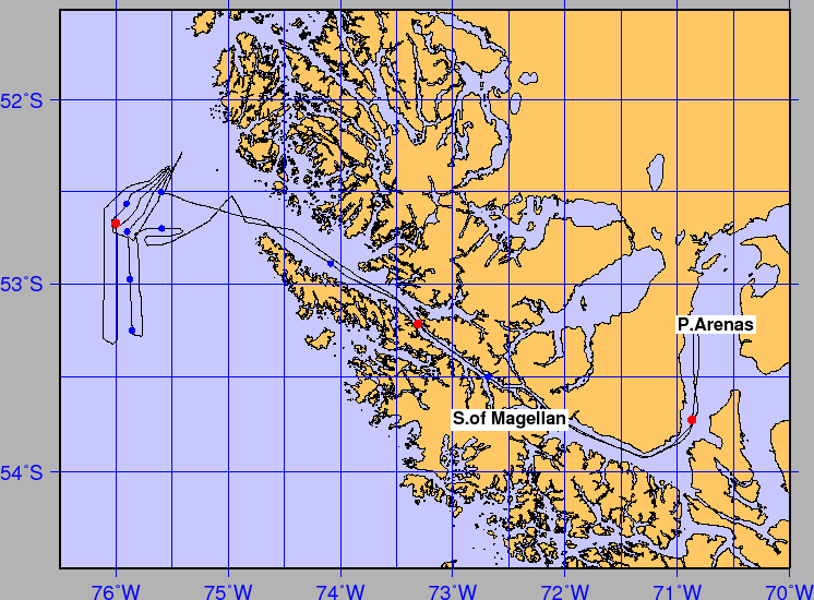
figure
Figure 4:
Whole ship track during Cruise SCPM04, including transits. The red circles are CTD, the blue circles are XBT stations.
 |
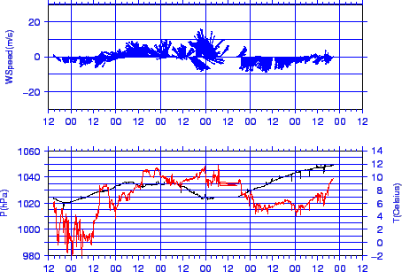
figure
Figure 5:
Meteorological data during cruise SCPM04. Lower: air pressure (black) and temperature (red). Higher: wind speed and direction.
 |
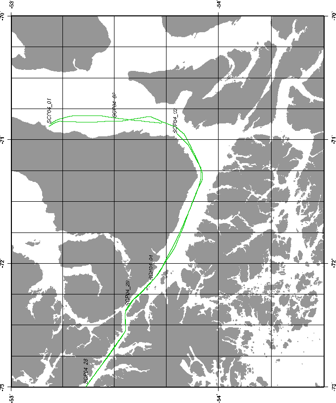
figure
Figure 6:
Ship track during Cruise SCPM04, CHIRP SBP.
 |
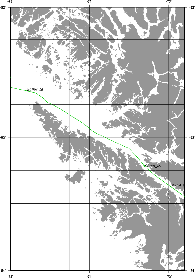
figure
Figure 7:
Ship track during Cruise SCPM04, CHIRP SBP.
 |
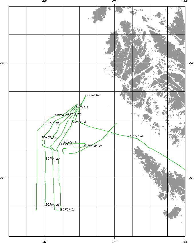
figure
Figure 8:
Ship track during Cruise SCPM04, CHIRP SBP.
 |
Next: SCIENTIFIC AND TECHNICAL PARTIES
Up: SCPM04_REP
Previous: The Straits of Magellan
Contents
2007-10-30