


Next: SCIENTIFIC AND TECHNICAL PARTIES
Up: MARM10_02_REP
Previous: INTRODUCTION AND BACKGROUNDS
Contents
CRUISE SUMMARY
SHIP: R/V Urania Flag: Italy [IT] Call Sign: IQSU IMO: 9013220, MMSI: 247498000
START: 2010-09-29 PORT: Napoli
END: 2010-10-18 PORT: Napoli
SEA/OCEAN: Sea of Marmara, Mediterranean Sea
LIMITS: NORTH 39:50.0 SOUTH: 41:00.0 WEST: 25:30.0 EAST: 30:00
OBJECTIVE: Active Faults and historical earthquakes in the Marmara Sea
COORDINATING BODIES: ISMAR-Bologna BOLOGNA (ITALY)
CHIEF OF EXPEDITION: Luca Gasperini (ISMAR-CNR)
CONTACT: Luca.Gasperini@ismar.cnr.it
DISCIPLINES: MARINE GEOLOGY, MARINE GEOPHYSICS, PHYSICAL OCEANOGRAPHY, CHEMICAL OCEANOGRAPHY,BOTTOM OBSERVATORIES
WORK DONE: SN4 RECOVERY, 30 KM MULTIBEAM, 1000 KM SBP
14 GRAVITY CORES, 35 SW CORES, 17 CTD CASTS, 4 ROV DIVES,
LOCALIZATION:
figure
Figure 3:
General ship tracks during Cruise MARM10_02 , including transits
from and to Napoli.
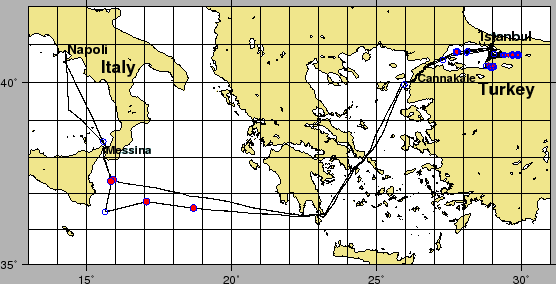 |
Figure 4:
Ship tracks during Cruise MARM10_02 in the Marmara Sea.
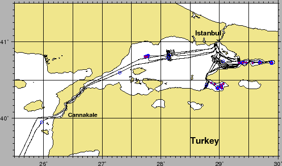 |
figure
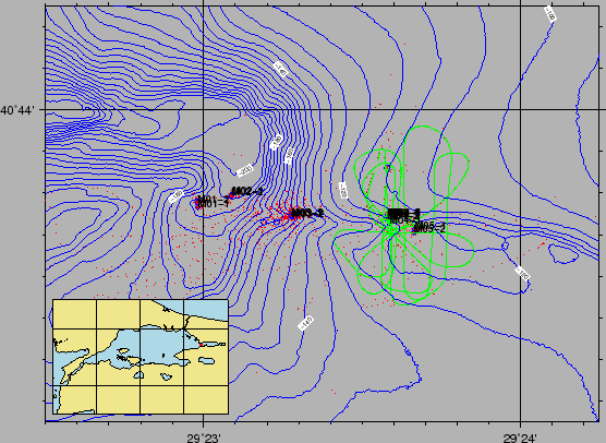
Figure 5:
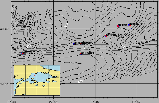
Ship tracks during cruise MARM10_02 , Izmit Area. Red and blue circles
and squares are coring locations. Red hollow circles are CTD and water sampling locations. Green lines are the ADCP navigation data.
 |
figure
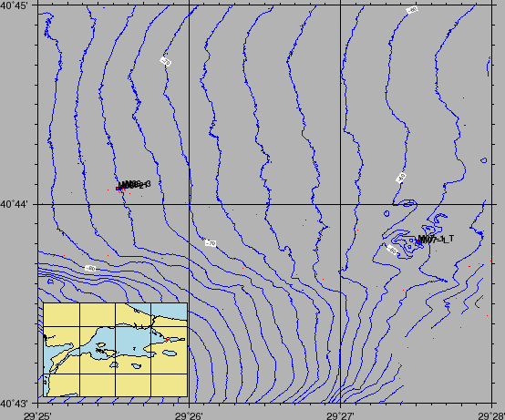
Figure 6:
Ship tracks during cruise MARM10_02 , Izmit Area. Red and blue circles
and squares are coring locations. Red hollow circles are CTD and water sampling locations. Green lines are the ADCP navigation data.
 |
figure
Figure 7:
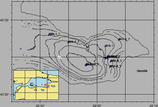
Ship tracks during cruise MARM10_02 , Gemlik Area. Red and blue circles
and squares are coring locations. Red hollow circles are CTD and water sampling locations. Green lines are the ADCP navigation data.
 |
figure
Figure 8:
Ship tracks during cruise MARM10_02 , Western High Area. Red and blue circles and squares are coring locations. Red hollow circles are CTD and water sampling locations.
 |
figure
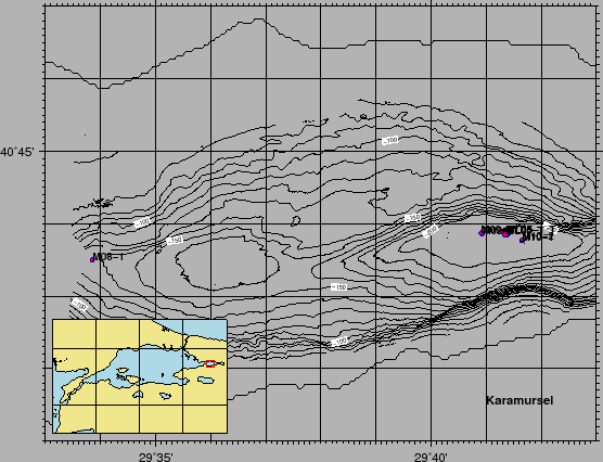
Figure 9:
Ship tracks during cruise MARM10_02 , Karamürsel Area. Red and blue circles and squares are coring locations. Red hollow circles are CTD and water sampling locations.
 |
figure
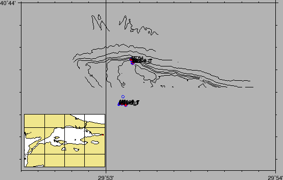
Figure 10:
Ship tracks during cruise MARM10_02 , Gölcük Area. Red and blue circles and squares are coring locations. Red hollow circles are CTD and water sampling locations.
 |
Next: SCIENTIFIC AND TECHNICAL PARTIES
Up: MARM10_02_REP
Previous: INTRODUCTION AND BACKGROUNDS
Contents
2010-11-15