 |
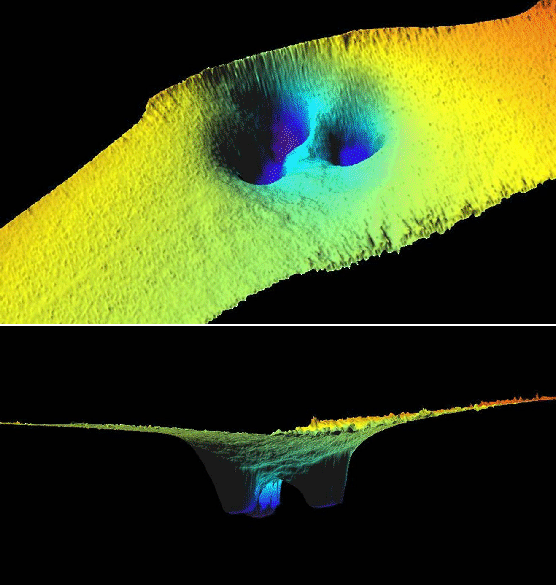
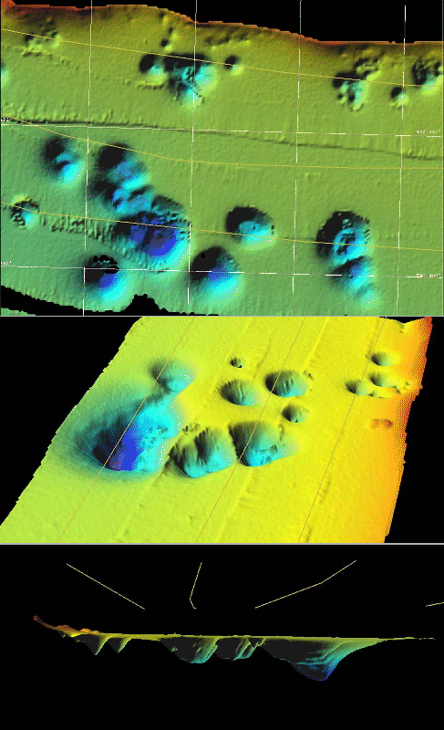
The Bay of Kotor, considered to be the southernmost fjord of Europe, is composed by three embayments, with average depths ranging from 20 to 40m, connected by shallower and narrow straits (e.g. the Verige S., 350m wide), and dominated by mountains of the Dynarides Range as high as 2000m (Mt.Orjen, NW the Bay of Risan, 1894m), with well expressed karst entirety and aquifers discharging on the coast and also below the sea level. During the ADR0208 cruise with Urania [Bignami et al.(2008)] we were able to pick most interesting structures and morphologies, among them the the karst resurgences in the Risan and Kotor bays, and the straits. We had the possibility of spending one day of work in the Bay, and were able to collect more interesting data. Some examples of unprocessed bathymetric data are reported in Figs.12, 9 and 10. It is interesting to note that the fresh water flowing from the sea bottom was also recorded on the multibeam and CHIRP (see for example Fig.11.
figure
 |
figure
 |
figure