 |
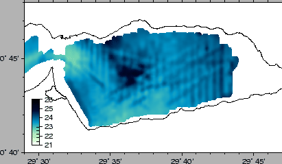
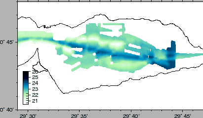
The Conductivity/Temperature sensor at 3.5 water depth can provide us with very useful data for the modelling of the properties of the upper layer of the water column. Since we noticed that a very high variability is present, expecially eastwardly, and even southwardly on the Izmit Gulf, these data, combined with the CTD casts will be used for the possible construction of synthetic Sound Velocity Profiles for a better Multibeam Data Processing.
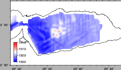
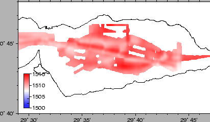
We show the Sound Velocity data, calculated according to the WHOI formulas, in the Central Izmit Gulf. Fig. 35 results from the gridding of the data collected before 2001-06-07 (end first leg), whereas Fig. 36 shows the data after 2001-06-07 (second leg). It appears that after the first leg the oceanographic conditions in the basin changed, even taking into account that the the depth of the sensor changed, due to the different draught. More interestingly, Fig. 37, which results from data that are more synoptical that those of Fig. 38, shows that fresher waters are pushed toward the Hersek Peninsula, with a sharp front in the middle of the basin. This analysis will have interesting implications for both the present survey multibeam data processing and oceanographical studies.
 |
 |
 |
 |