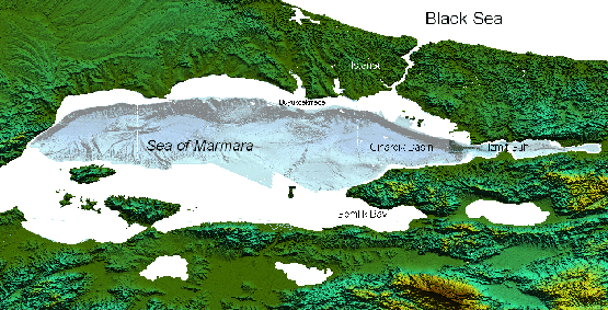
After the 1999 disastrous earthquakes the international community is facing the attempt to produce maps of the faults distribution in the Marmara region. This project is attempting to study the seismogenic behaviour of the fault system. We believe that an integrated approach involving the acquisition and analysis of geophysical (multibeam, side-scan sonar, chirp), geological (cores) and seismological data would represent an innovative strategy in the emerging field of “submarine earthquake geology” to assess the seismic hazard in the Marmara region. The project involves a geological/geophysical survey that will combine multibeam, side- scan sonar maps and chirp sub-bottom profiles with carefully positioned core samples to resolve the shallow geometry and kinematics of portions of the fault system in the north eastern Marmara Sea. We expect to resolve fault geometry and kinematics and to date their most recent ruptures at the same scale as typical paleoseismic studies on land. We are guided by previous and ongoing projects studying larger scale and deeper characteristics of the fault array in the Marmara. Our strategy has been to juxtapose morphology and structures along this known rupture with other faults that may have ruptured in previous historic earthquakes near the Ganos Fault, such as the very large and destructive event of 1912. In the analysis of data, particularly important will be to identify features characteristic of submarine ruptures of transcurrent faults which may be subtle in reflection profiles. The entire cruise has been devoted to the study of the Gulf of Saros, in the North Eastern Aegen Sea, along the continuation of NAF track.
figure
 |
Specific tasks carried out during MARM11 cruise were :