

Next: CONCLUSIONS
Up: INITIAL RESULTS
Previous: Bar region and southern
Contents
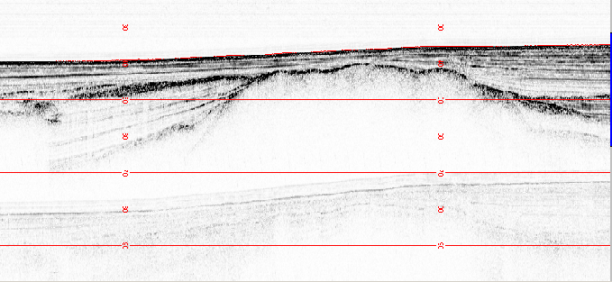
When reached the Albanian shelf, the area offshore Cape Rodonit was mapped. An example of subbottom morphologies of the area is shown by Fig.22).
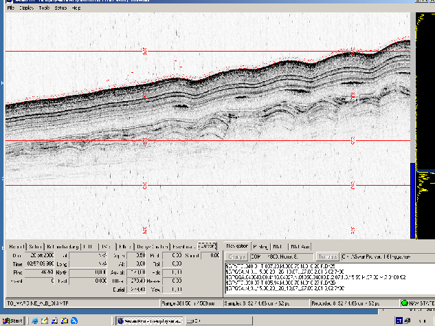
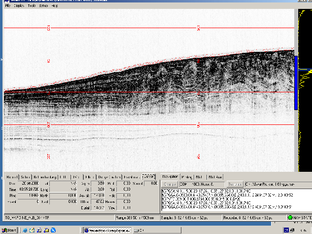
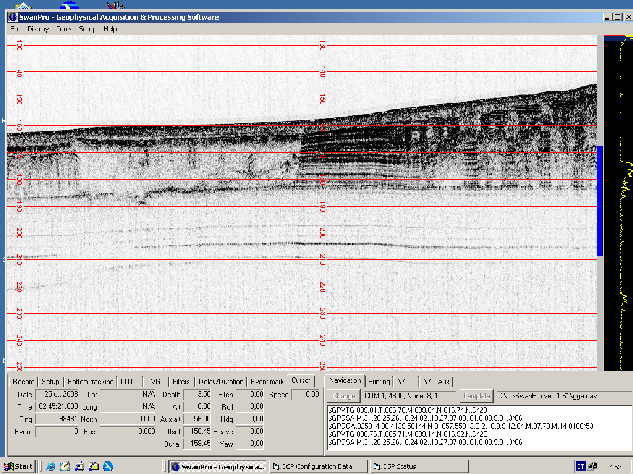
The shelf-break and slope area SW of Cape Rodonit was also investigated. Figures 23, 24, 25 present some examples of the subbottom morphologies in the area.
figure
Figure 22:
Hard acoustic basement draped by holocene sediments, Cape Rodonit, Albania.
 |
figure
figure
Figure 23:
Compressions, montenegrinian offshore.
 |
figure
Figure 24:
Compressions, montenegrinian-albanian offshore.
 |
figure
Figure 25:
Chaotic, gassy sediments, albanian-montenegrinian offshore.
 |
root
2009-01-11
