 |
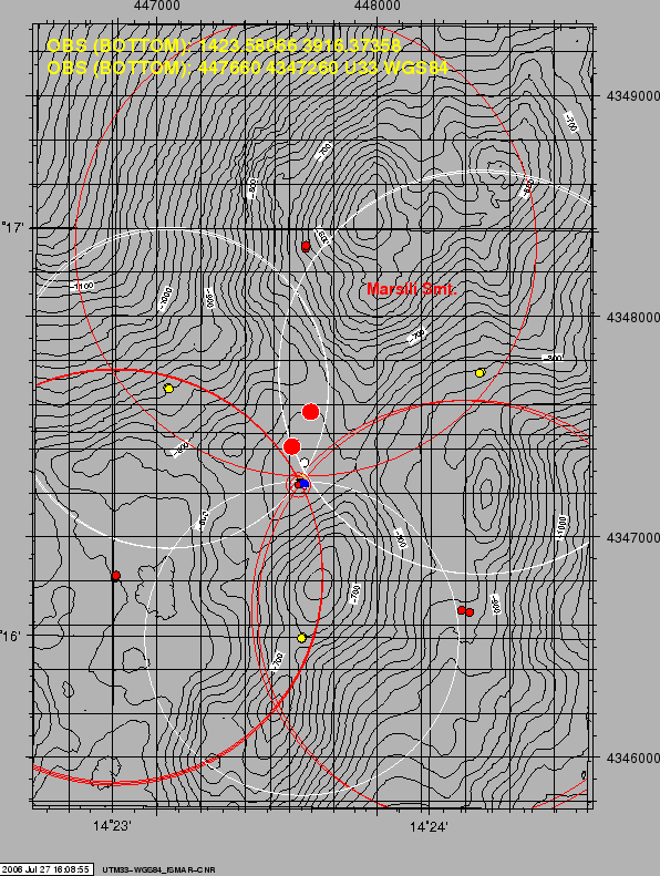
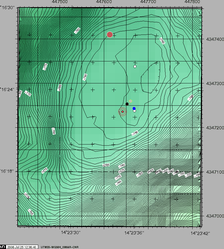
After a test of deployment/recovery on an area S of the Marsili on a plain 3500 w depth, an OBS was deployed by the INGV team on a gentle depression at 800m depth just SSE of the top of the Marsili. The site was chosen by examining available ISMAR's bathymetric data complemented by this cruise's newly acquired data. The OBS was released 2006-07-12 15:21 UTC. Ship was then positioned on three stations 120°apart at a distance of aproximately 1200m, and range measurements were taken for object's detection by trilateration, other than acquiring status and health messages. Table 11 in Appendix 6.3 report the positioning data, while figures 15 and 16 show the topography of the deployment area. At the ane of the cruise the OBS was fired 2006-07-21 06:41, reached surface 07:07:40 some 180m SW of ship and was succesfully recovered on deck 07:17 UTC.
figure
 |
figure
 |